.jpeg)
Agricultural Intelligence · Field trial
Every block has
a different answer.
Pythology converts local weather, soil and farm-management context into block-aware operating decisions—mapped against the farm and delivered while there is still time to act.
What the system delivers
Weather is only the first layer.
The useful question is not simply what the forecast says. It is what those conditions mean for this block, this operation and this farm today.
Local operational weather
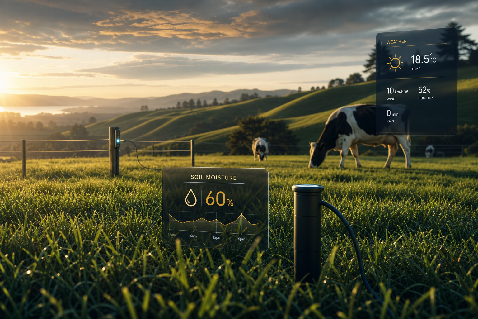
Rain timing, wind, frost, humidity, spray windows, heat stress and conditions translated into farm actions.
Sub-surface intelligence
Soil temperature, moisture, saturation, pugging risk, drainage context and nutrient-loss conditions by configured block.
Growth and value context
Modelled pasture growth, grazing suitability, milk-solid assumptions and transparent value context without presenting estimates as verified savings.
Daily Action Board
Prioritised hold, caution and opportunity decisions for grazing, spraying, effluent, frost and rain-sensitive work, with field feedback used for calibration.
Mapped farm context
A digital operating picture of the farm.
Farm boundaries, mapped paddocks, block conditions, livestock, inputs and operating priorities give the system context beyond a generic forecast. Block-level intelligence can be overlaid on the farm map while field feedback is used to improve calibration.
Farm and paddock geometry
KML, KMZ, GeoJSON, shapefile ZIP, PDF or aerial-image mapping can be submitted during onboarding.
Nutrients and effluent
Record nitrogen, fertiliser, lime, effluent and irrigation use by hectare and operating area.
Herd and flock profile
Dairy, sheep, beef or mixed operations with herd sizes, support blocks and seasonal changes.
Crop and rotation history
Capture annual crops, paddock allocation, sowing, harvest and regrassing information.
28-day operational trial
Configured against a real farm.
The trial begins after mapping and baseline farm information are configured. No subscription charge is applied during the 28-day evaluation period.
01 · Farm profile
We establish property, block, livestock, crop, operating and economic context.
02 · Farm mapping
Upload digital boundaries or a farm map with the application. Larger files are transferred through a secure follow-up link.
03 · Calibration
The intelligence cycle is configured for local conditions, then recommendations are checked against real farmer observations.
04 · Live trial
The farm receives 28 days of decision intelligence and provides practical field feedback so accuracy and value can be measured honestly.
Farm trial application
Tell us how the farm operates.
This gives us the information required to create an isolated client profile, configure farm-specific thresholds and assess whether the property is suitable for the field trial.
Farm information, maps and operational observations are kept separate from every other client and are not published without permission.